Map showing the extremely differing geography of Portugal. *Note: the archipelagos (chain of islands) are the Azores and Madeira, which are also part of Portugal.
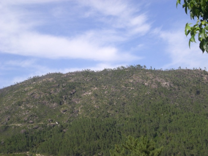
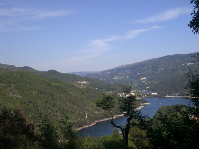
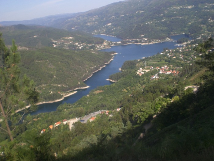
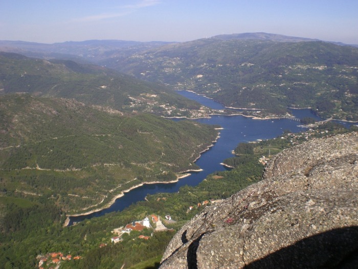
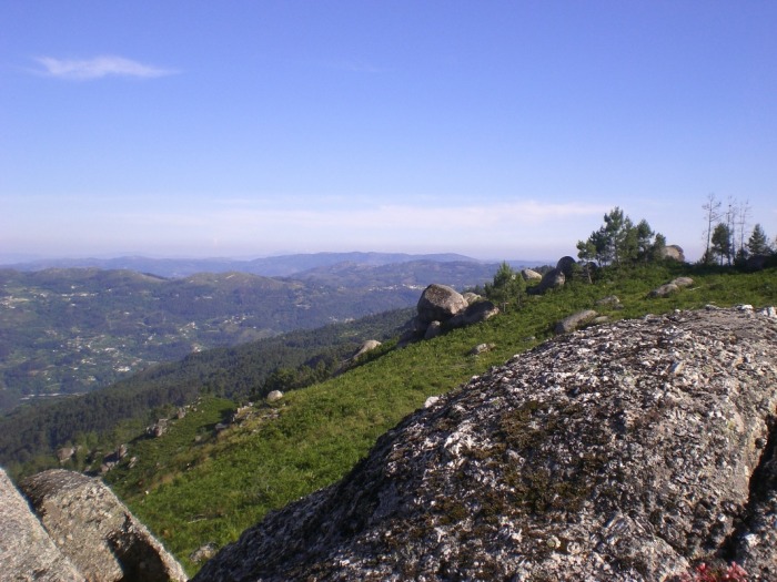
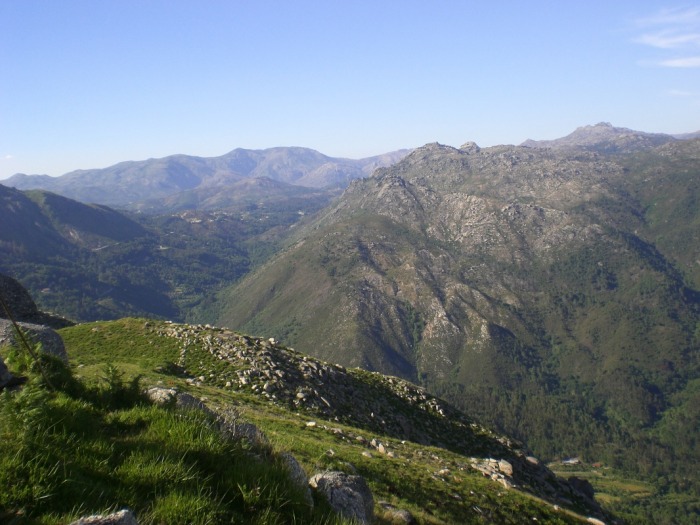
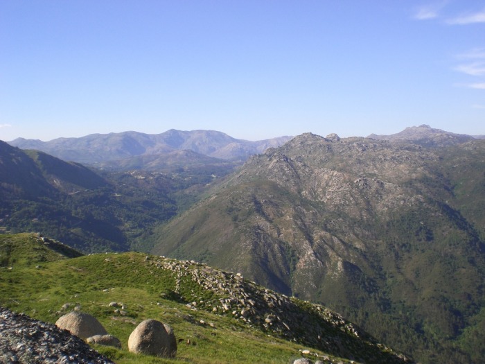
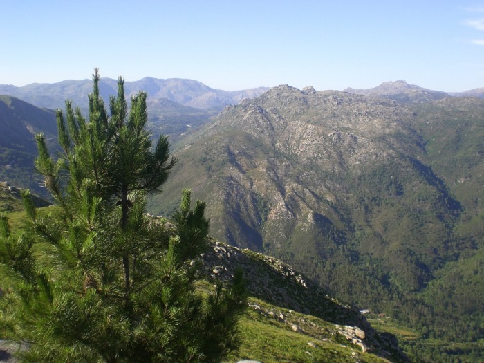
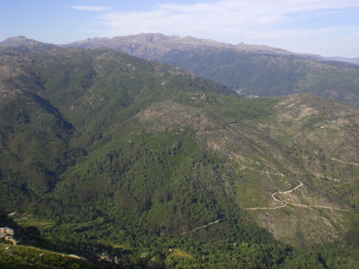
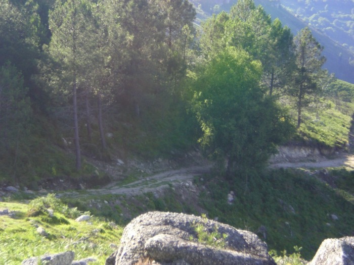
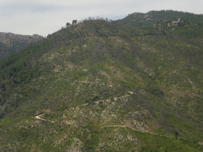
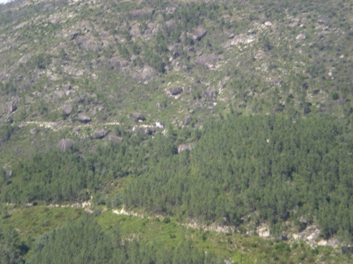
Serra do Gerês
Serra do Gerês is a mountainous region, being the second highest region in Portugal. The photos were taken two years ago on my visit there. The place was just amazing. So beatiful, and just overall picture-perfect. In this area, animals such as the Iberian wolf, Roe deer, Red deer, and wild boar make their last stand. The mountain range also includes Parque Nacional da Peneda-Gerês (Peneda-Gerês National Park). This national park is one of the most popular natural destinations in Portugal because of its vast expanse (72,000 hectars, or 178,000 acres) and because of its ecological richness.


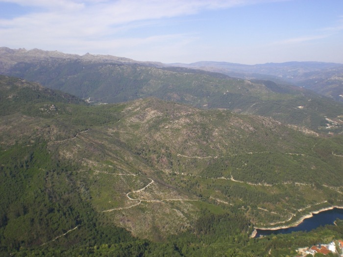

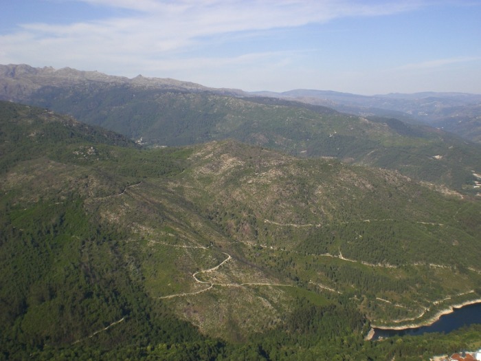
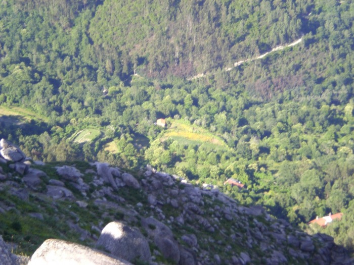
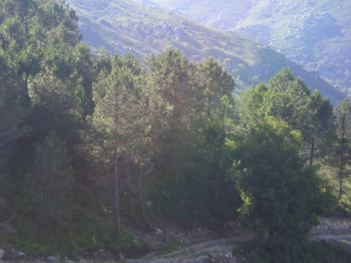
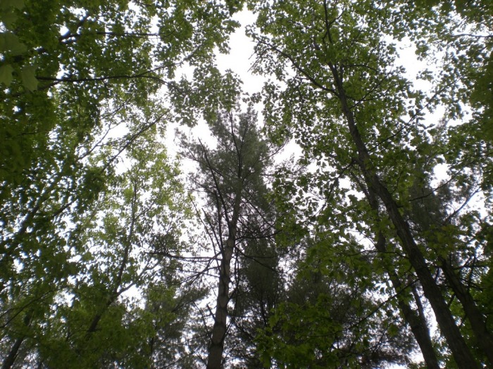
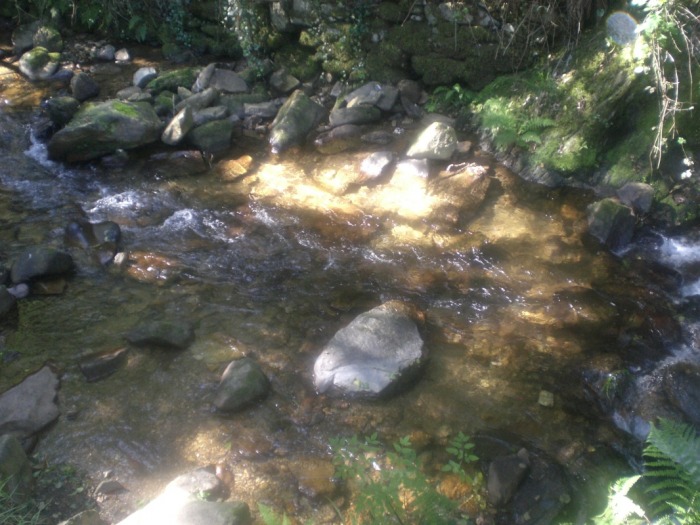
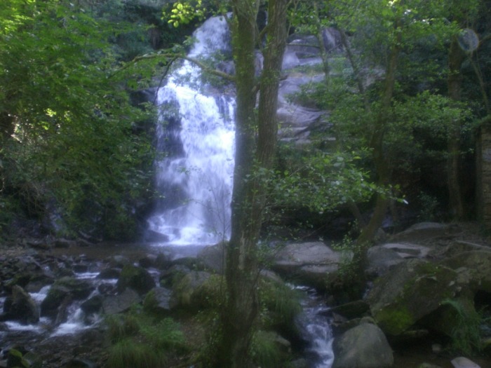
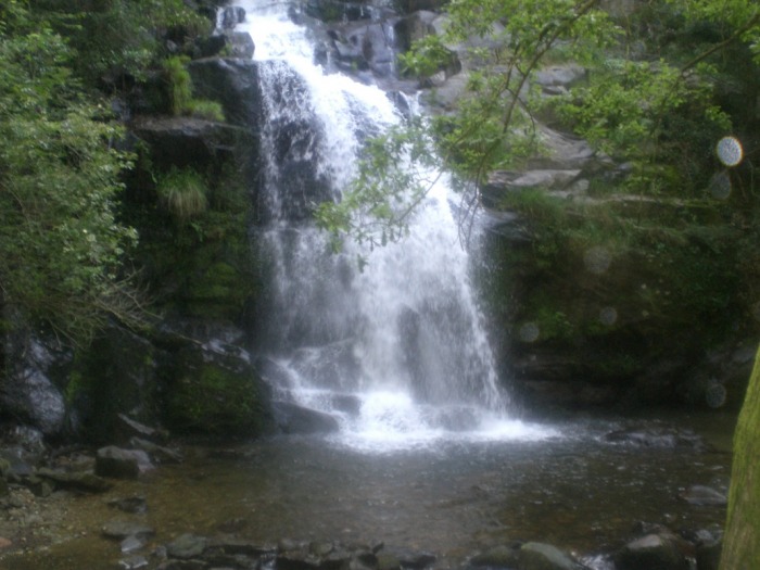
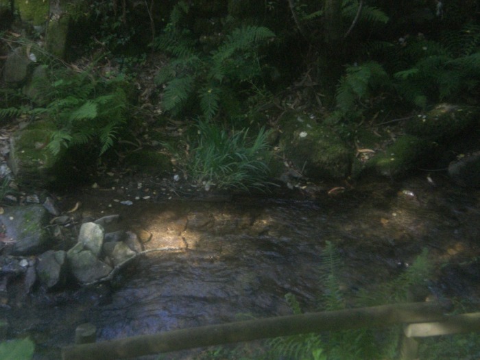
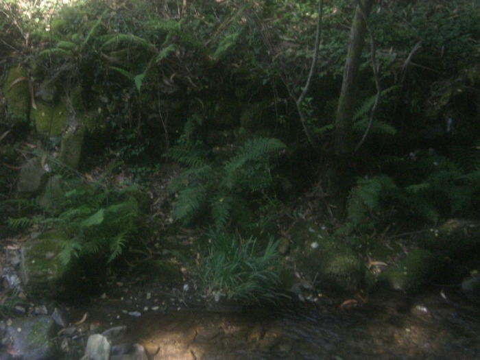
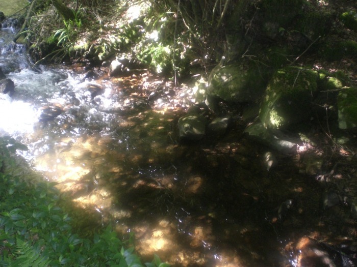
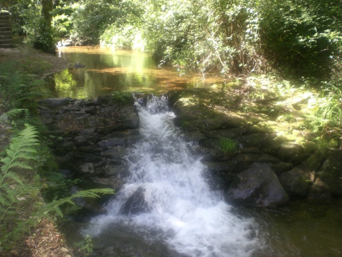
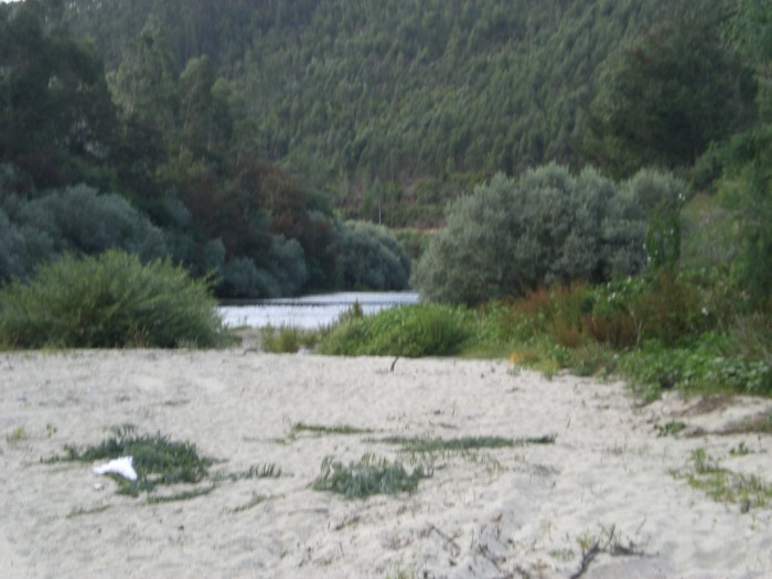
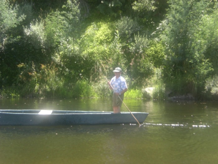
Temperate Rainforests in Northern Portugal
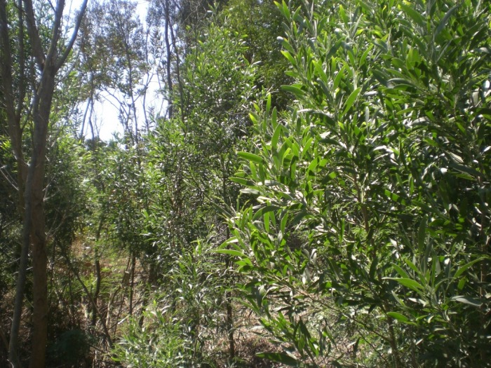
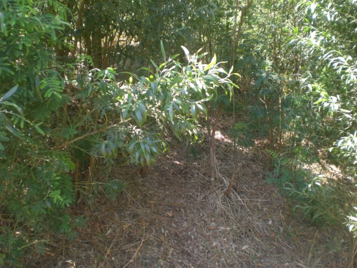
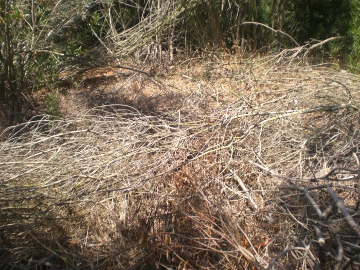
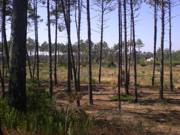
About three years ago, my cousins and I decided to visit a temperate rainforest in Northern Portugal. I had never been to one, and to be honest, I never expected to see what I saw: lush vegetation as far as the I-can-see and streams and waterfalls feeding the rainforest's abundant greenery. The last two photos are of an area, perhaps 45min-1hour away that we visited after the rainforest. The vegetation was completely different. This is a prime example of the geographical diversity in Portugal.

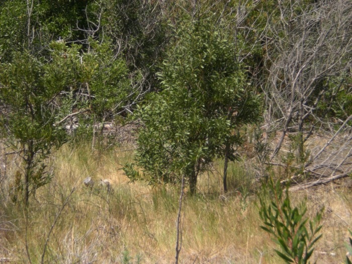
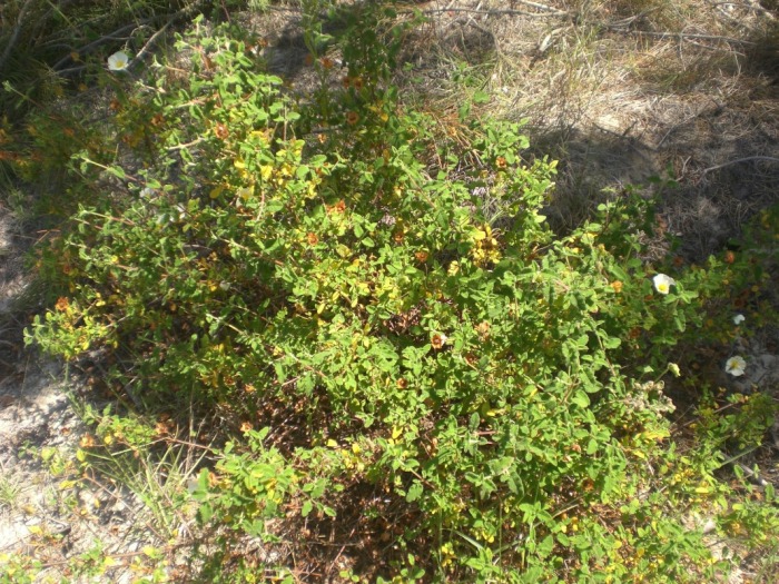
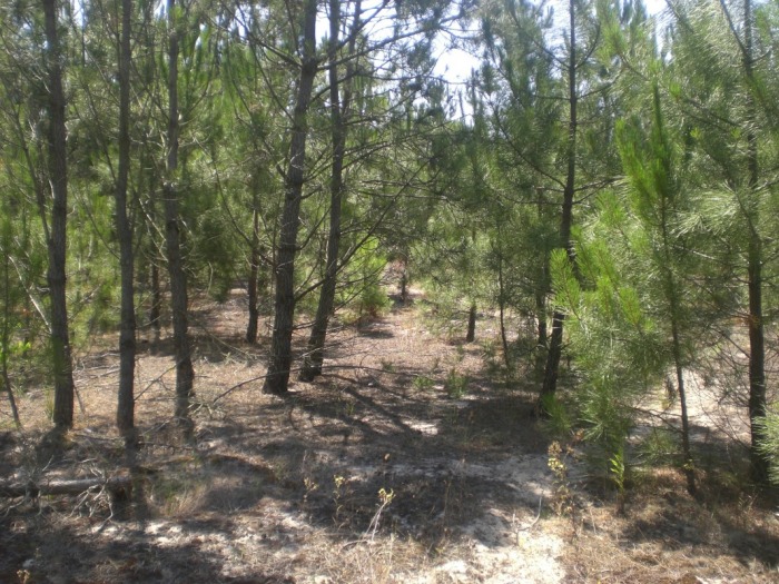
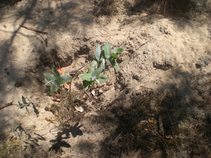
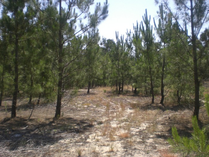
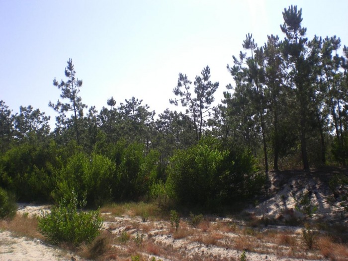
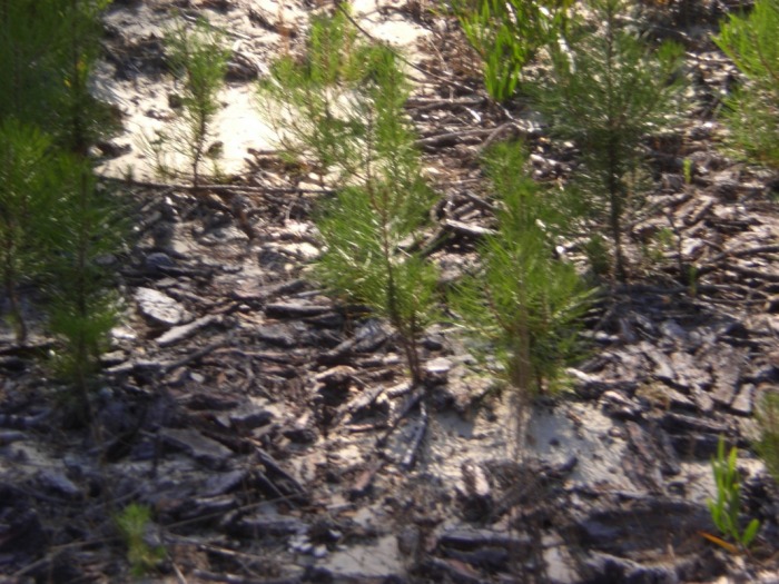
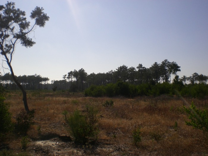
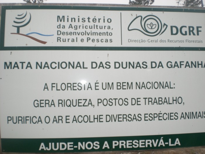
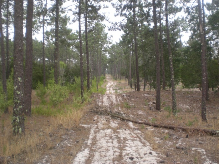
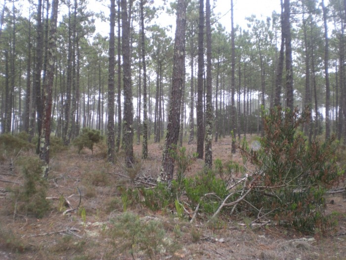
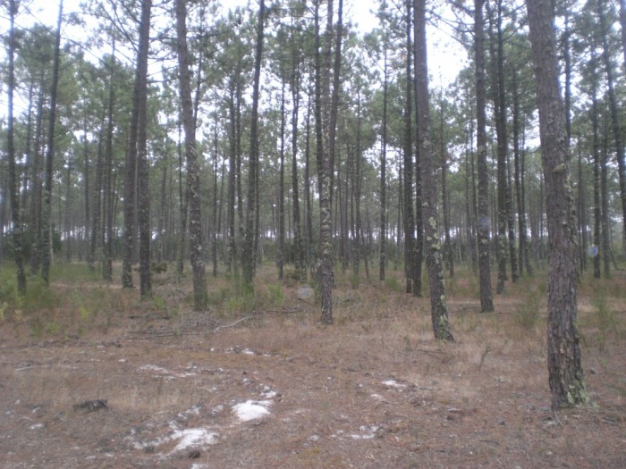
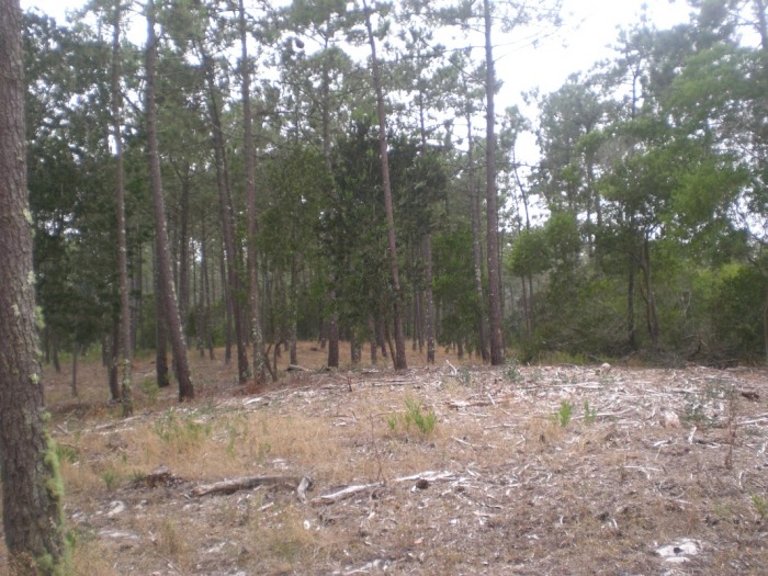
Mata Naçional das Dunas da Gafanha da Nazaré
This national forest, translated to "Dunes of Gafanha de Nazaré National Forest", is located in the Northern, central region of Portugal. In fact, my home in Portugal is actually about 2 minutes away from this national forest. It is 16,000 hectares, or 40,000 acres. It contains animals such as the feral cat, wild boar, and red fox (which is also native to Europe). Some photos are not of the actual park itself, but of forests and trees that surround it. Still, the forests surrounding it are comprised of more or less the same vegetation as the forest itself. The national forest photographs begin with the sign of the national forest.